Fly in and Out of Lake County
Christmas Valley, OR 97641
Klamath County, Oregon
Farm Description
Owner Financing:
- $100 down (plus the $250 doc fee)
- $100 down $185/Mo for 76 months (plus prorated taxes and $10/Mo note maintenance fee)
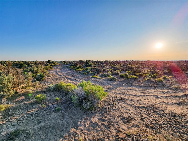
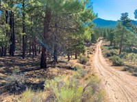
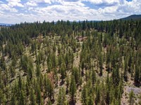
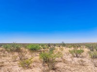
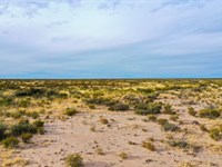
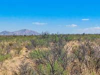
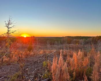
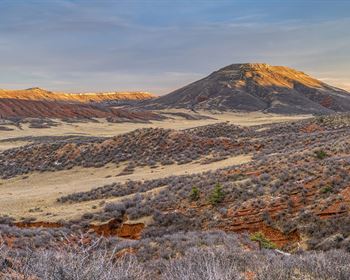
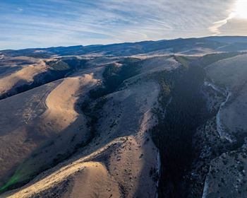
There is no shortage of recreational opportunities available in Christmas Valley. In fact, off-road all-terrain vehicle enthusiasts flock to the area to ride in the Christmas Valley Sand Dunes. In addition the area offers forests, deserts, lakes, and mountains to explore.
Located in Lake County, the community was named for nearby Christmas Lake. Today it is a dry lakebed located near Silver Lake. Christmas Lake (and nearby Peter's Sink and Peter's Creek) are connected to pioneer Peter Christman, who had a home in Silver Lake and grazed his cattle in the area. Playing off the novelty of the area's name, a developer in the 1960'S laid out the entire Christmas Valley community complete with street names like Candy Lane and Mistletoe Road. An artificial lake (today known as Baert Lake) was built as part of the planned community, along with a golf course, lodge, airport, and rodeo grounds.
Lake County encourages using renewable energy as part of your property, so consider setting up your acreage with solar power, geothermal heating and cooling, or alternative fuel options like biomass. While you cannot live on the property in an RV, mobile homes are allowed, and you can camp in either for short periods of time with a permit. Mobile homes older than 1976 require a conditional use permit (Cup). Ready to set up camp in Christmas Valley? Give us a call today.
Subdivision: N/A
Street Address: N/A, near Christmas Valley, OR 97641
State: Or
COUNTY: Lake County, Or
Zip: 97641
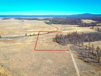
Size: 5 acres
LOT Dimensions: 338 feet x 677 feet
Apn: 2062
Legal Description: T26s, R19 Ewm Sec. 4: E1/2 Ne1/4 Sw1/4 Sw1/4
Lat/Long Coordinates:
Nw: 43.342915, -120.478665
Ne: 43.342914, -120.477421
Sw: 43.341088, -120.478702
Se: 43.341079, -120.477442
Elevation: 4,309 feet
ANNUAL Taxes: Approx. $98 per year
ZONING: A-2 Agriculture Use, R - Range Comprehensive Plan Designation - Mobile homes are allowed. As long as the Mobile home is newer than 1976 then you don't need a Cup. If older than 1976 then you would need a CUP and it is not guaranteed. It would require a Type II CUP and then Building and Septic permits to get power and an address. Camping and RV's are allowed for short periods of time, not more than 7 days in a 6 month period. You cannot live on the property in an Rv. Please contact Lake County, OR Planning & Zoning for additional information.
FLOOD Zone: Unsure
HOA/POA: No
IMPROVEMENTS: None
ACCESS: Property can be accessed via a dirt road on the Southern portion of the lot.
WATER: Would be a well, water haul and holding tank or other similar option
SEWER: Would be by Septic
UTILITIES: Power by solar, wind or generator, Phone by cellular, satellite Tv/Internet/Phone
Farm Maps & Attachments
More Farm Details
More Farms from Landopia, LLC
 5 AC : $15.1K
 5.1 AC : $11.7K
 20 AC : $26.7K
 5.1 AC : $28.1K
 10 AC : $38.6K
 10.4 AC : $10.6K
 20 AC : $26.7K
 46.3 AC : $77.2K
 9 AC : $31.3K
 5.1 AC : $9.2K
 5.7 AC : $10.8K
 20 AC : $26.7K
