Cheney Hill Ponds Parcel
Waverly, NY 14892
Franklin County, New York
Farm Description
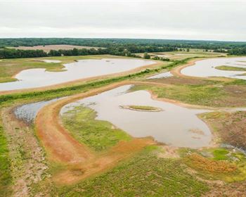
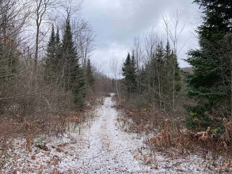
Located on the northern edge of the Adirondack Park, the Cheney Hill Ponds parcel offers several level and cleared off the grid home site options along its western boundary. The central part of the land is characterized by a series of sizeable beaver ponds. The property is adjacent to New York State land along its eastern and southern boundaries where it is a quarter mile hike to the East Branch of the St. Regis River, an excellent Brook Trout fishery.
Location
The Cheney Hill Ponds Parcel is in the town of Waverly, New York, in Franklin County just outside the village of St. Regis Falls, on the northern boundary of the Adirondack Park. This rural region is home to vast tracts of New York State land and offers an abundance of public access to the area's lakes and rivers. The property is bordered by New York State land that runs along both banks of the East Branch of the St. Regis River. The land is situated in a geographical transition zone with the St. Lawrence Valley to the north, with its increasing farmland, and vast forest cover to the south making up the Adirondack Park.
The property is a 2 hour drive from Montreal. Lake Placid is an hour to the southeast, the college town of Potsdam 30 minutes to the west, and the regions two commercial centers, Saranac Lake and Malone, are both a 30 minute drive away.
Access
Access is provided by a deeded road right of way off the town maintained Trim Road. The right of way leading to the property is approximately a half mile in length and completely level.
Site Description
The Cheney Ponds Parcel is predominantly a young, even aged hardwood mix of maple, cherry and yellow birch. The central portion of the land has numerous beaver ponds around which the forest is dominated by spruce and fir. The western third of the property is flat with several large clearings. The grade gradually increases as the property goes east. The principal ATV trail through the land crosses between two ponds on the western property boundary then heads east and ends at the border with New York State land. From here it is a quarter mile hike down to the East Branch of the St. Regis River.
There are 8 distinct beaver ponds on the central portion of the property, the largest of which is approximately 4 acres. The ponds are generally surrounded by young spruce and fir. A network of ATV trails runs throughout the property with spurs leading to the largest of the ponds.
