Pataula Place
Georgetown, GA 39854
Quitman County, Georgia
Shown by Appointment Only
Farm Description
Opportunities abound with this tract thanks to its ample frontage on GA Hwy 39, access to power and water, and well-laid terrain located in Quitman County, Georgia.
Location
Pataula Place is located in the upper coastal plain of southwest Georgia and is known for its relatively flat yet well-drained land. The tract is immediately adjoined by other timberland and cultivated agricultural land. There are a few small residences in the area. The city of Georgetown is just about eight miles away. Lake Eufaula, a 45,000-Acre lake known for its bass and crappy fishing, is within a few minutes drive.
The City of Eufaula, Alabama is about 15 minutes away. Eufaula offers dining, lodging, a grocery store, and a medical facility. Lake Point State Park, Florence Marina State Park, and the Eufaula National Wildlife Refuge are in close proximity. These parks offer a marina, resort lodge, restaurant, campground, hiking trails, fishing, boating, hunting, and wildlife viewing. This is a recreationally rich area.
Pataula Place is located on GA Hwy 39. The property is only five miles off of US Hwy 82. US Hwy 431 in Eufaula, AL, is only 10 miles away, and US Hwy 27 in Cuthbert, GA is only 26 miles away.
The City of Eufaula has a small municipal airport 20 minutes away. The Columbus, Georgia airport is about an hour and 15 minutes from the property.
Access
Pataula Place has excellent paved state highway frontage along GA Hwy 39. The tract has an approximate 2,350 feet of frontage on Hwy 39.
There is currently one driveway cut, but the tract is well suited for multiple plots should subdividing become an objective. The tract has direct access to water and electricity.
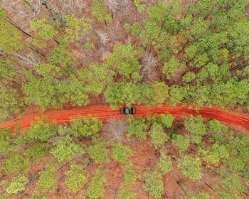
The tract has an internal road about 550 feet long that runs from Hwy 39 to the east line. The road is an access easement for the property to the east. A series of fire breaks run along the east and south boundaries, providing Atv/Utv or easy walking access if kept open.
Site Description
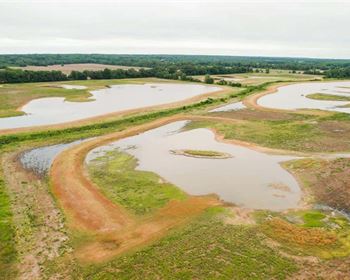
The tract is primarily flat but slopes down to an intermittent stream on the southern end. Its elevation runs approximately from 305 feet above sea level to about 370 feet at its highest point. The soils are well-drained and productive. The tract has primarily been in timber production; the final harvest produced more than 100 tons per acre, which is a credit to its soils.
Lake Eufaula, and all it brings, is literally minutes away. With active cultivation directly across Hwy 39, the beauty of Georgia's agriculture will also be in full view.
The tract is an option for subdivision and development. Each lot can have a nice block of acreage and easy highway access.
This part of Georgia is known for its wildlife, and this tract provides excellent opportunities for deer and rabbit hunting.
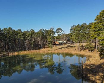
The tract itself is well suited for hunting, trail walking, and wildlife watching. Its recreational opportunities are amplified by its proximity to Lake Eufaula.
Timber
Pataula Place was harvested several years ago, and the majority was replanted with loblolly pine in 2022. If allowed to grow and develop, the plantation should be thinned at or near age 15 to keep it healthy and developing well. It will reach full financial maturity in this market around age 26. As is, this plantation provides both cover and forage or wildlife.
A hardwood stand is also on the southern end of the tract, following the intermittent stream and down to the south boundary. This area adds diversity to the tract and is an extra source for browsing when acorns fall.
Farm Maps & Attachments
Directions to Farm
From US Hwy 82, turn SOUTH onto GA Hwy 39. If you are coming from Eufaula, this turn will be on the right about 3.5 miles after crossing the lake. If you are coming from US Hwy 27 in Cuthbert, this will be a left turn in about 21 miles. Once on GA Hwy 39, travel about 5 miles then the property will be on your left. Lewis Moore Volunteer Fire Department is directly across from the northwest corner of the property. Once you pass the Fire Department, start looking for the gate on the left.


