Lewis Creek Forest
Vt Route 116 : Starks, VT 05487
Addison County, Vermont
Farm Description
Introduction:
The land's highest and best use is likely a combination of camp development, recreation, long-term timber value asset appreciation, and conservation.
Property highlights include:
- Private access leads through scenic farm fields, set away from major public roads.
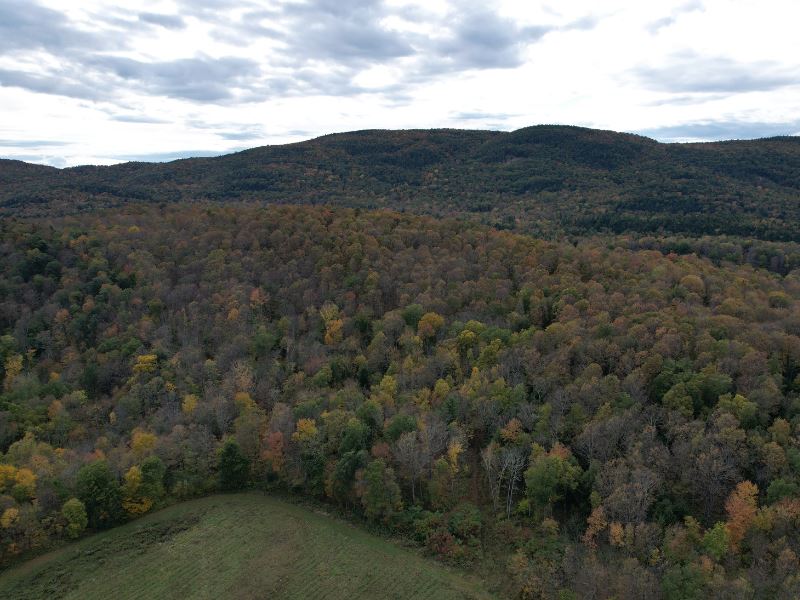
- Mature and high-quality hardwood timber resource, suitable for long-term forest management and sugaring.
- Rolling terrain offers excellent hiking and recreational access, as well as sites for a potential camp.
- Quiet, rural location close to ski resorts and Lake Champlain.
Location:
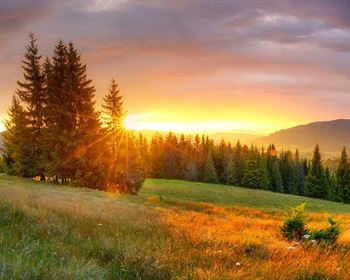
The forest is found in rural Starksboro, Vermont, a quaint town nestled in the Champlain Valley, just west of the Green Mountains. The surrounding location is predominantly family forests and farms, occupying rolling hills and river bottoms containing fertile valley soil.
Hinesburg, located north of the property about 7.8 miles away, has local amenities, small businesses, breweries, and restaurants. Vermont Folk Rocker, Vermont Smoke and Cure, and Frost Beerworks are notable producers of local goods with regional acclaim. Mad River Glen and Sugarbush ski resorts can be found approximately 16 miles away.
Locally, the land is found in the shadow of Hogback Ridge to the west and lies in what is known as the Champlain Valley. This region, with Lake Champlain to the west and the steep Green Mountains to the east, is known for its mild temperatures and productive soils.
Access to Lake Champlain, a popular destination for beachgoers, anglers, and boaters, can be found approximately 30 minutes to the west. Burlington, the area's largest population and job center, is located 23 miles to the north. The property is unique in that it is well situated between Camel's Hump State Forest to the north (14 miles northeast in Huntington) and Green Mountain National Forest. (7 miles south in Bristol)
Albany, NY is about 3 hours to the southwest, while Boston is approximately 3.5 hours to the southeast.
Access:
Access is found via Vt-116, from which a private, gravel, deeded access road runs through neighboring farm fields for approximately 1,000 feet before crossing Lewis Creek via an iron bridge. From here, the road becomes dirt and continues approximately 1,900 feet around the edge of a farm field before terminating at the beginning of a hiking trail running through the property.
This hiking trail runs through the center of the property, offering quick foot access. Old woods trails from previous logging are found throughout, and all areas of the property are easily accessible.
Site Description:
The property has a predominantly eastern access, and features a small hill presenting the highest elevation in the forest, approximately 800' above sea level. From here, gentle and rolling slopes fall away to the north and east, to approximately 600' above sea level. The terrain includes some short, steeper rock outcrops where exposed ledge is present.
The property is notable for the presence of many glacial erratics; large, glacially-deposited boulders left behind after glaciers receded from the area around 14,000 years ago. These features are commonly found on upland sites, and indicate that the soil is mostly composed of fertile, calcium-rich glacial till.
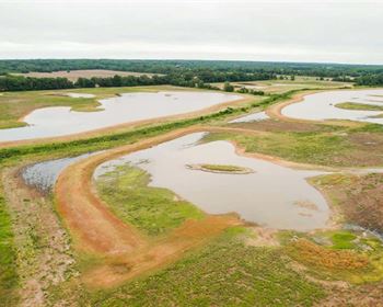
The forest serves as a headwaters for small streams draining into Lewis Creek. The property contains many ephemeral and intermittent streams which drain east off the property. Overall, however, the site is dry underfoot, well-suited for recreational trails and forest management activities.
The land features many flat plateaus suitable for the construction of a seasonal camp, lean-to, or primitive campsite. Due to its location near open fields, riparian habitat, and large forested blocks, the property offers excellent wildlife habitat for migratory bird species and local game animals.
Timber:
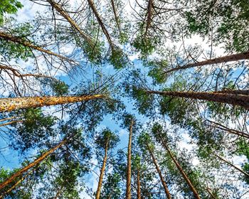
The timber resource on the property is mature and well-situated for future volume and value growth. The property features a northern hardwood forest dominated by sugar maple, the state tree of Vermont. Sugar maple makes up 65% of the basal area, with ash, beech, and hemlock being present as minor associates.
The land was once cleared for pasture by early homesteaders in the 1800S. Since then, as Vermont transitioned away from widespread farming practices, this land reverted to forest. Over the years, former owners have used the property for firewood, local wood products, and maple sugaring, as evidenced by old sugaring buckets found around the property. The property is well-suited to continue the tradition of sugaring, with easy yet predictable slopes and an excellent maple component providing around 50-75 taps per acre by visual forester estimate.
The land's forest management plan (copy available upon request) identifies one stand that has been influenced by past forest management, most recently a thinning around 7 years ago. As a result of this, the forest is now growing an excellent crop of new hardwood saplings developing in the shade of mature, high-quality hardwoods.
There is no recent timber inventory permitting the establishment of Capital Timber Value (Ctv), but field observations indicate that Ctv/Ac could be .
