Secluded Acres Upper Peninsula
Ffr 2127K Road : Iron River, MI 49935
Iron County, Michigan
Farm Description
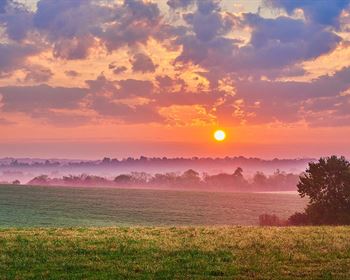
Secluded Upper Peninsula OF Michigan 240+/- Acre Recreational Parcel. This property is located in the northwestern corner of the northern rectangle of Bates Township in Iron County, in the Upper Peninsula of Michigan.
The property is surrounded by Ottawa National Forest Lands - With its 988,000 acres, it offers recreational opportunities for boating, camping, picnicking, fishing, hiking, hunting, kayaking, skiing, observation of wildlife and native plants, and other outdoor activities. These National Forest Lands have over 300 lakes stocked by the Mdnr, and over 1,200 miles of Trout Streams.
The eastern border of the property nearly touches the East Branch of the Ontonagon River which flows northward 54 miles to the confluence with the Middle Branch of the Ontonagon River.
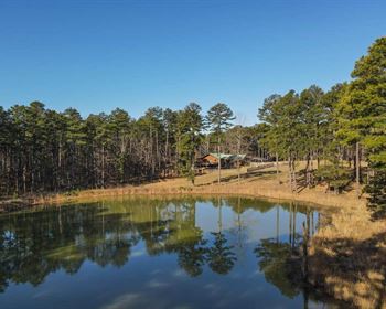
Coldwater fish species predominate these river bodies (parts of which are designated trout streams) and are accessible to fish migrating from Lake Superior. There also a few ponds located on the property.
Lake St. Kathryn a mile+/- southwest of the parcel offered for sale, is known for Northern pike, Walleye, Bass and Perch fishing.
Perch Lake, three miles southwest of the property, is the largest water body in the County, with 994 acres. This lake has good numbers of Walleyes, Northern pike, Largemouth bass and Perch.
The Hanna Webb Lake four miles straight south of the property, is one of the Brook Trout "Better Fishing Waters" as designated by the Michigan Department of Natural Resources (Dnr).
These water bodies attract wildlife of all kinds. Wildlife species found in the area include large mammals such as white-tailed deer, black bear, coyote, wolf, and bobcat, as well as small mammals such as squirrel, rabbit, chipmunk, racoon, otter, beaver, skunk and fox. Seasonal and year-round bird species are seen in the area including songbirds, shore and water birds, and game birds.
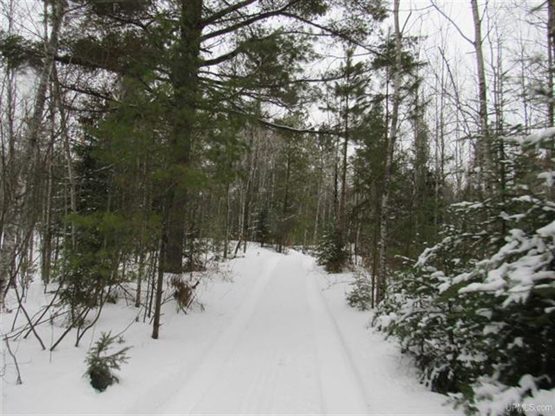
The Porter Lake-Sidnaw Multi-Use State Trail Number 15 runs just to the west of the parcel. This is a state-designated snowmobile trail in winter which is used primarily for an off-road vehicle (Orv)/All-Terrain vehicle (Atv) trail in other seasons. This network of trails connects with other trails across the Upper Midwest.
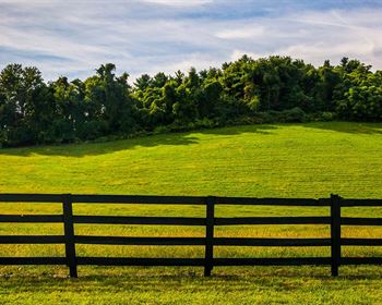
The property is characterized by rolling hills and some 20-foot high peaks.
The most common trees on this parcel are Aspen Stands, with other species like northern hardwoods, oak, spruce, mixed conifers, red pine, jack pine, and some areas of mixed swamp conifers. There are several open areas that are grass and fern covered. This diversity will promote wildlife habitation.
There are about six miles of trails throughout the property. The parcel is enrolled in the Michigan CFA Program. This Voluntary Program provides a tax incentive to landowners to retain and manage their forestland for long-term timber production and to provide foot access to the public for hunting, trapping and fishing.
For Complete Text See Associated Documents
Farm Maps
Directions to Farm
From the Marquette Intersection of West Washington and Lincoln Avenue head west on West Washington to Highway US-41. Continue west on US-41 for 54 miles to the US-41/US-141 Intersection (Covington Junction). Take a left onto US-141/M-28 and go west 13 miles to the Village of Sidnaw. Take a left onto the South Sidnaw/Perch Lake County Road (D163). Take this road south 8 miles to the Lake Saint Kathryn Road/Federal Forest Road 2127. Take a right and go 2+/- miles to Forest Road 2127-A (Gasley Lake and Pole Barn will be on your left - GPS Location for this turn is 46 24 08.8/88 45 09.1). Take a right and go about.5 miles to a (Locked Gate). One can drive around it with an ATV. Continue.25+/- miles to a “Y”. Stay to the right and go.25+/- miles (A gravel pit will be on your left). Then continue.3+/- miles to a (Locked Gate). This gate would be difficult to drive around. Go through the gate, and at the “Y” stay right. Go.2+/- miles to an old (Locked Gate) on the Right. Go through the gate and go.6+/- miles to the northern border of the property. Look for pink ribbons placed near the northern border of the property offered for sale.
More Farm Details
More Farms from Timothy Keohane
 29.8 AC : $358K
- 400 AC : $418K
- 40 AC : $128K
- 51 AC : $748K
- 5 AC : $358K
- 40 AC : $48K
- 24.5 AC : $688K
- 80 AC : $80K
- 113 AC : $110K
- 9.4 AC : $1.78M
- 80 AC : $64K
- 80 AC : $80K