Osceola Forest
N Osceola Road : Osceola, NY 13437
Lewis County, New York
Shown by Appointment Only
Farm Description
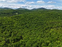
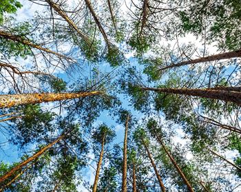
The property represents a classic forestland investment with fully stocked hardwood stands of pole sized growing stock and sawlogs, developed access, level terrain and an attractive array small scenic ponds.
Property highlights include:
-Standing timber value of $911,000, with outstanding asset appreciation opportunity and short-term timber sale income.
-Developed access to support future forest management activities and recreational pursuits.
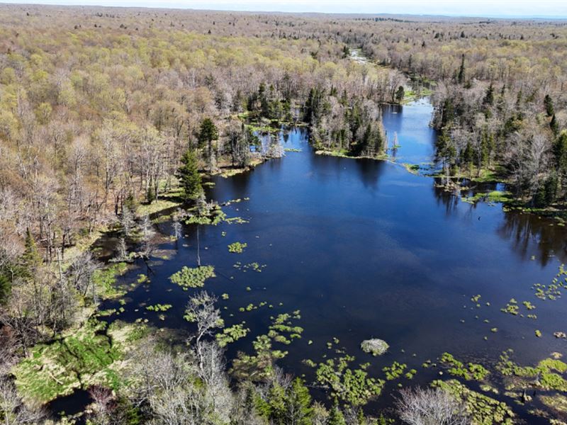
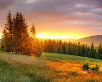
-Scenic landscape with beaver ponds, streams, and aesthetically attractive forest stands.
-Low tax base given the land's 480-A enrollment.
-Personal camp development options or recreational leasing possibilities to cover the annual taxes.
Location
The property is located in the Town of Osceola, western Lewis County. This northwestern region of New York is rural and dominated by forestland. Commonly known as the Tug Hill Plateau, the area normally receives an abundance of precipitation during winter months due to “lake effect” weather patterns off Lake Ontario.
Osceola Township is roughly 81 square miles in size with no major settlements. The southwestern portion of the town contains most of its 229 residents while the eastern and northern areas remain forested, held mostly by large ownerships with few publicly maintained roads. Restaurants, markets, lodging and shopping are available in Camden, a small town about 28 miles to the south.
Regionally, the property sits about 25 miles west of Lake Ontario, with Syracuse roughly 56 miles to the southwest. Rome NY is 51 miles to the southeast, while Watertown is a similar distance to the north.
Access
The Forest lies in a remote location with access provided by a private gravel road that begins at North Osceola Road and runs in a northerly direction for nearly 1.4 miles to the property's southeastern corner. This 3-season access road traverses mostly level terrain with the exception of a section about halfway to the property where the road slopes gradually down towards a stream crossing and then gently rises to the boundary line. This access provides legal entry for forest management activities, timber harvesting and the building of one camp or home.
Upon entering the property, a private gravel road runs roughly 2,000' to a large former landing. From this point, an old road was recently upgraded to support future forestry operations that heads to the west and north, penetrating the property for roughly 1 mile. Several major trails fork off the access road, providing additional internal access. The entire road network can be viewed on the attached property maps.
Boundary lines appear to be in good condition and have recently been painted red.
Site Description
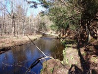
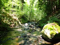
The property's terrain is gently sloping, with moderate to steep slopes at the western end of the land near Stoney Brook and Mill Stream. The predominately level terrain facilitates both future timber harvesting activity and recreational opportunities. Three streams run through the land: Mill Stream, Stony Brook and Prince Brook. Mill Stream is year-round, draining a good sized watershed, and flows north to south in the western extreme of the land. Smaller in size, Stony Brook originates on the northern section of the land, then crosses the western area, flowing in a north to south direction. All three streams eventually make their way south into the Salmon River, which empties into the Salmon River Reservoir, then onward to Lake Ontario.
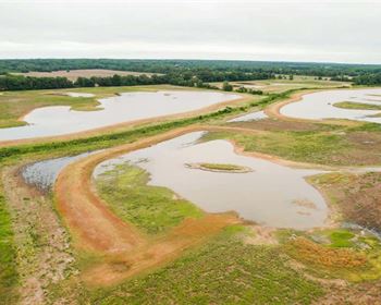
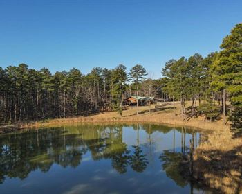
Several wetlands with varying levels of open water (depending on beaver activity) cover roughly 90 acres. A scenic 6-acre pond exists at the northwestern corner of the property.
With the exception of areas near wetlands/ streams and the mixed/softwood stands, soils are relatively well drained, creating favorable growing conditions for the dominate maple, birch and cherry timber resource. On-site gravel for road building appears to be abundant for future needs.
Elevation property-wide ranges from 1,560' above sea level (Asl) at Mill Stream along the western boundary to the highest elevation of 1,738' ASL where the access road enters the property in the eastern end.
Timber
Timber data in this report are based on a comprehensive and monumented F&W Forestry timber inventory completed in the Fall of 2023 for the purpose of establishing Capital Timber Value (Ctv). One hundred and seventy inventory points were sampled (1 plot per 5.5 forested acres), covering a 475' x 475' grid using a 10-factor prism. Sampling statistics are ±9.2% standard error for sawlog products and ±6.2% for all products combined at the 95% confidence interval. The timber data reveal a total sawlog volume of 4,065 MBF International ¼” scale (4.3 Mbf/Acre), with 14,939 pulpwood cords (15.9 cords/acre). Combined total commercial per acre volume is 24.5 cords, a figure about average for the region. Stumpage values were assigned to the volumes in January of 2024, producing a property-wide Capital Timber Value (Ctv) of $910,600 ($968/Commercial acre). See the Timber Valuation in this report for details.
Species Composition:
The species composition is nearly all comprised of hardwood species which represent 95% of the total volume. The minor softwood balance consists of spruce/fir. This hardwood-dominated timber resource offers a high level of future asset appreciation, given hardwoods increase in value as they mature (by moving into higher-valued products like sawlogs & veneer).
Species composition for all products combined mirrors that commonly found in the area, dominated by The Maples, yellow birch, with notable components of black cherry, American Beech and minor components of spruce/fir and white ash.
The sawlog volume breakdown is held by the same dominate species and black cherry, however with an increase in spruce/fir and decrease in American beech (see graph to the right). With the exception of beech, these species have historically seen good markets for their end use forest products.
Sawlog Value/ Thinning History:
Sawlog value is held by sugar maple (33%), red maple (24%), yellow birch (19%), black cherry (10%), spruce/fir (6%) and white ash (6%), with the small balance held by miscellaneous species.
Since the current owner's tenure began in 2007, no silvicultural treatments have been conducted, allowing the stocking and diameters to increase to their current, favorable levels. Harvesting last occurred +/-24 years ago where most of the poor quality trees and larger, more mature stems were cut, leaving a fairly uniform forest of poles and small sawtimber, now small to medium sized sawtimber with associated pole sized growing stock.
Diameter Distribution & Stocking:
The average diameter for all products combined is 12.0", while the average sawlog diameter is 14.5". The average diameter for the main three species are red maple 15.0", sugar maple 14.5" and yellow birch 14.5". Forest density is generally represented by fully-stocked stands, consisting of large pole sized stock (pre sawlog, +/-10” diameters), medium sized sawlogs and a younger age class of advanced saplings (4-5” in diameter) the latter resulting from the harvesting +/-24 years ago. The average Basal Area (Ba) is 102 ft2 on 221 stems/acre. Stem quality is quite good within all age classes.
Management Plan:
The property's 2023 management plan is comprehensive and has scheduled silvicultural treatments for the summer of 2024 covering 321 acres. Further silvicultural treatments are planned for 2033 (226 acres) and 2037 (165 acres).
Farm Maps & Attachments
Directions to Farm
From the house address 1280 North Osceola Road, Redfield, NY 13437, head east 0.1 miles along N. Osceola Road to a private road on the north side of the road. The head north on the private road 1.4 miles to the property boundary.
More Farm Details
More Farms from Thom Milke
 87.7 AC : $203K
 738 AC : $877K
 515 AC : $830K
 1,011 AC : $1.7M
 88.5 AC : $522K
 1,189 AC : $14M
 13 AC : $110K
 191 AC : $239K
 1,872 AC : $9.27M
 New27.1 AC : $142K
 152 AC : $300K
 25 AC : $120K
